 vesseltracker.com
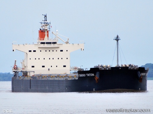
Vessel YANGZE 21 IMO: 9602368, MMSI: 636021587 Bulk Carrier
UTC, 8.64753, 132.17184, course: 320, speed: 12.3
UTC, 9.10195, 131.77438, course: 318, speed: 11.5
2026-02-13 11:03:10 UTC, 9.27356, 131.61623, course: 315, speed: 12
Live AIS position:
UTC. 204 nm NW of Malakal),
updated 2026-02-13 11:03:10 UTC.
Find the position of the vessel YANGZE 21 on the map. The latter are known coordinates and path.
marine traffic ship tracker show on live map
The current position of vessel YANGZE 21 is 9.27356 lat / 131.61623 lng. Updated: 2026-02-13 11:03:10 UTCCurrently sailing under the flag of Liberia
YANGZE 21 built in 2012 year
Deadweight:
82122 tDetails:
Last coordinates of the vessel:
UTC, 8.53458, 132.27357, course: 321, speed: 11.6UTC, 8.64753, 132.17184, course: 320, speed: 12.3
UTC, 9.10195, 131.77438, course: 318, speed: 11.5
2026-02-13 11:03:10 UTC, 9.27356, 131.61623, course: 315, speed: 12